


Beach Emergency Numbers
Beach Emergency Numbers (BEN) is a coding system that assigns unique codes to coastal access points to help improve response times in an emergency.
The unique code and location information is displayed on green and red signs, referred to as BEN signs, which can be seen on coastal paths and beach access points, harbours, estuaries, rivers, boat ramps and fishing platforms.
BEN signs provide specific location information, vital when emergency services are deployed in the event of a shark incident or other beach emergency.
Information is integrated into computer-aided dispatch systems used by emergency services such as ambulance, police and Surf Life Saving WA.
BEN signs are an important element of the Western Australian Government’s shark hazard mitigation strategy. For further information visit the SharkSmart website.
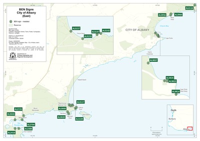
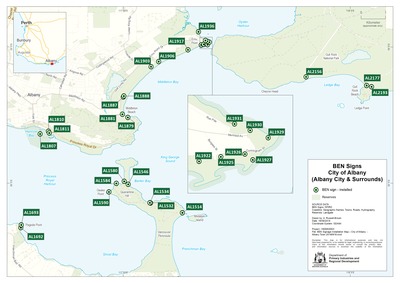
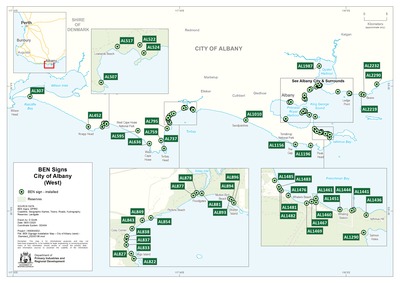
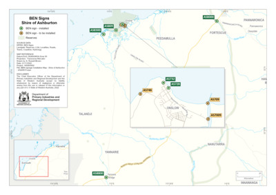
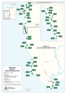
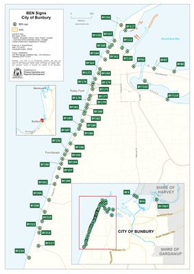
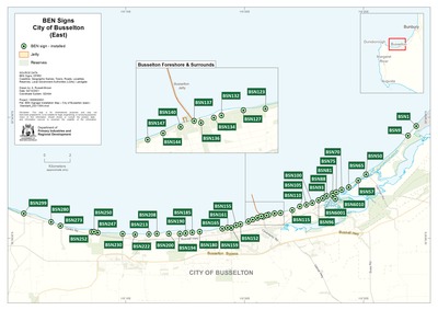
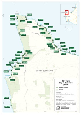
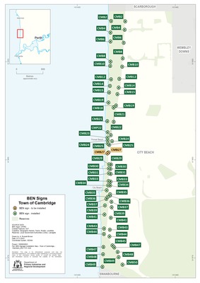
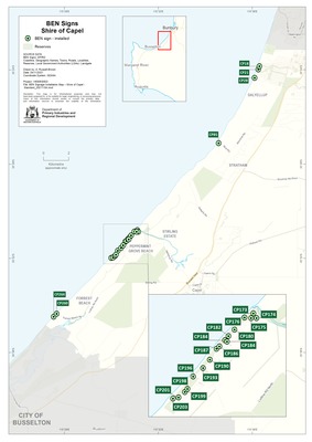
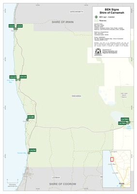
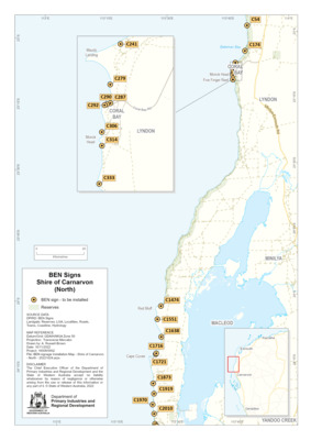
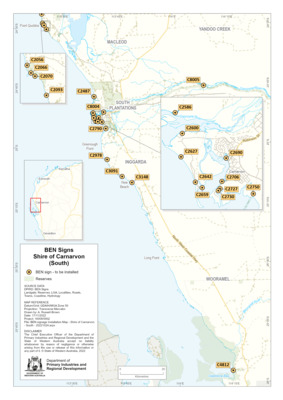
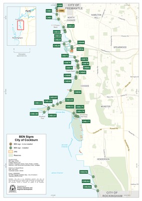
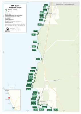
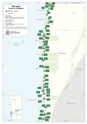
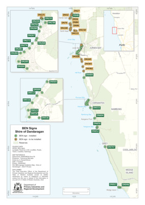
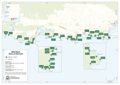
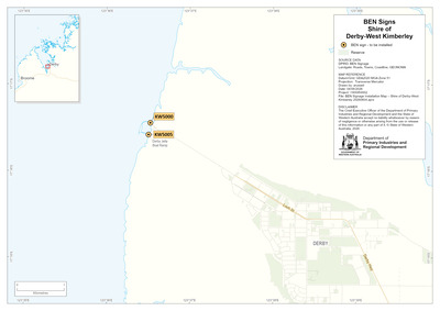
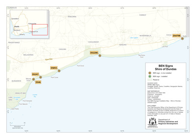
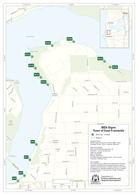
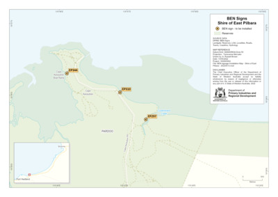
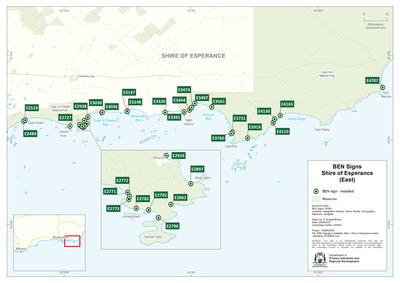
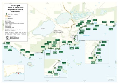
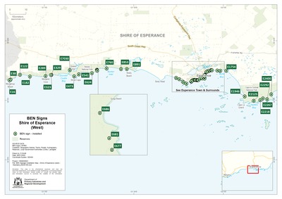
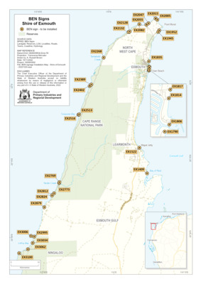
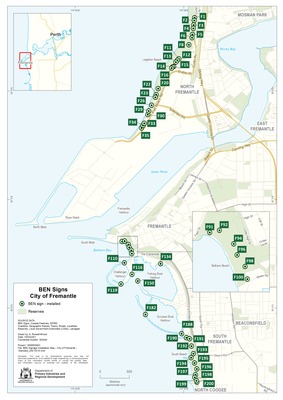
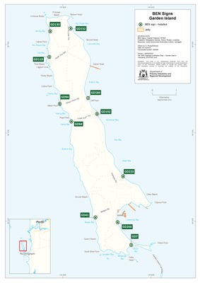
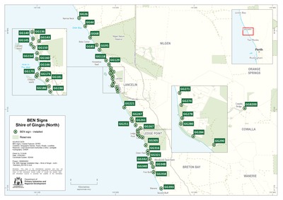
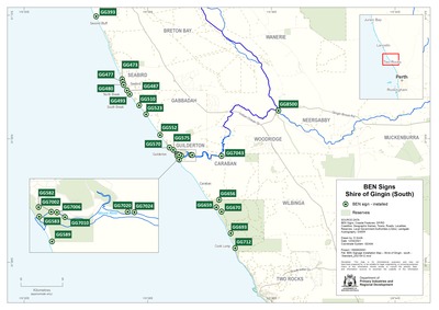
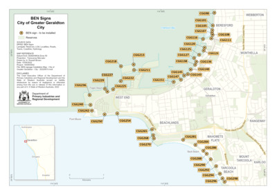
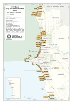
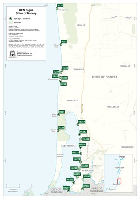
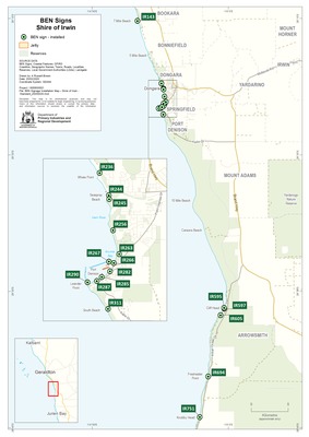
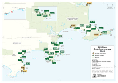
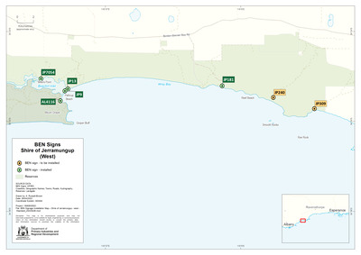
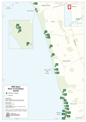
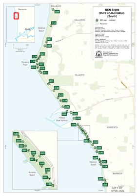
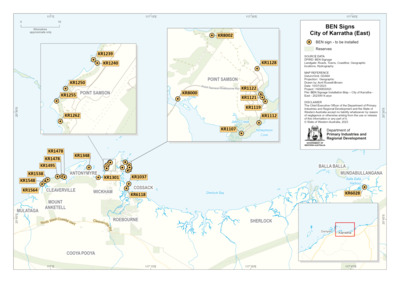
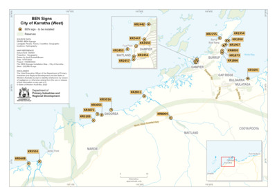
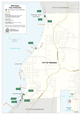
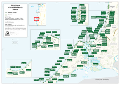
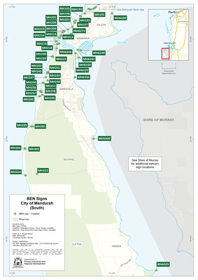
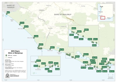
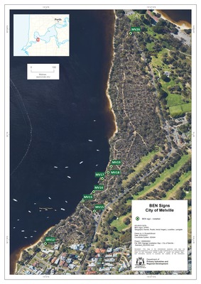
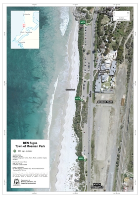
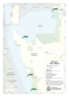
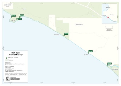
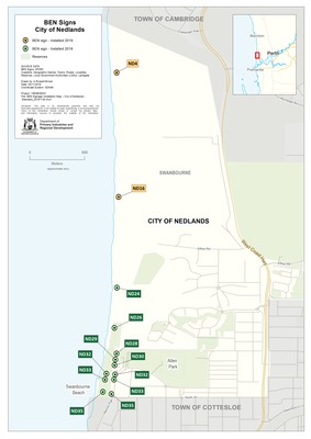
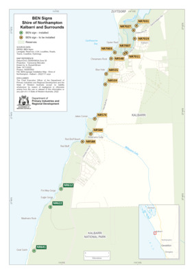
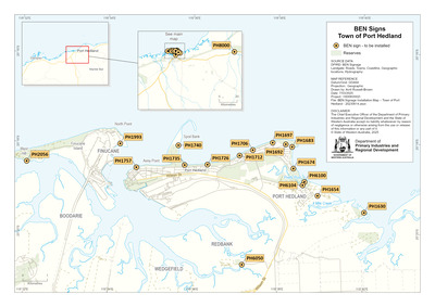
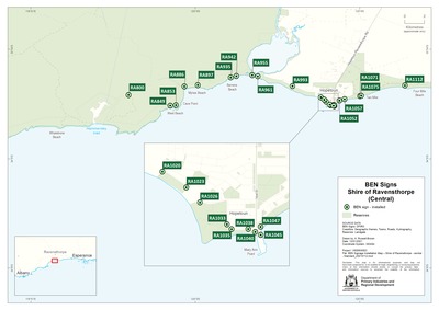
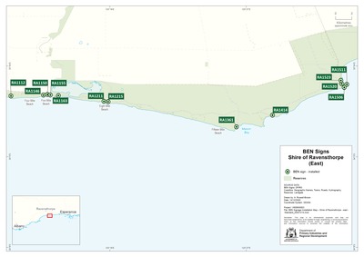
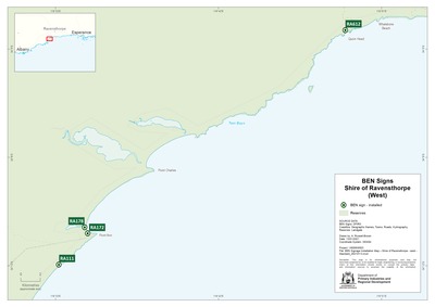
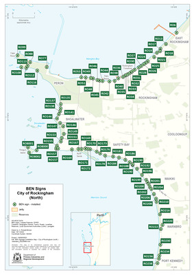
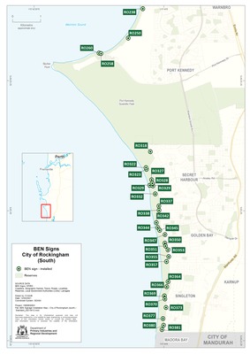
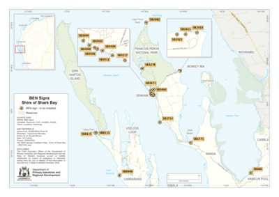
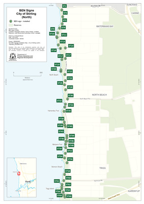
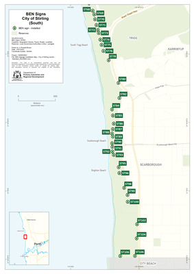
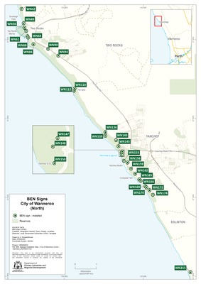
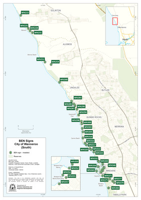
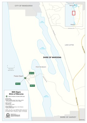
Downloadable BEN sign installation mapsBEN sign installation maps can be downloaded based on Local Government Authority or island locations such as Garden Island, Rottnest Island and Penguin Island.
To find a specific map, view the list below.
BEN sign dataThe BEN data set contains detailed location information, including geographic coordinates, address and access notes, for signage installed along coastal areas of Western Australia.
The data set can be downloaded from DataWA.
BEN sign mapThe BEN sign map is an interactive tool that allows users to explore both installed and planned signs around Western Australia.
Users can zoom into a specific area or use the search function in the top left corner to locate signs by their unique BEN code, such as MH123. Clicking on a sign reveals detailed information including its address, geographic coordinates, and access notes.
View the BEN sign map.


