

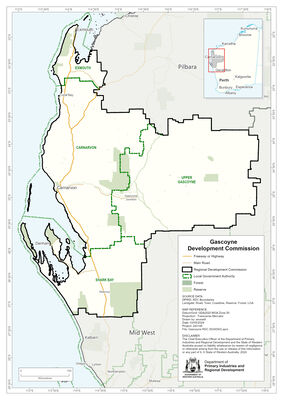
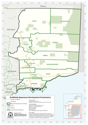
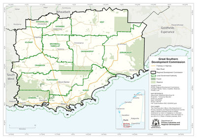
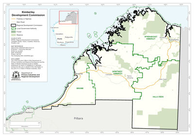
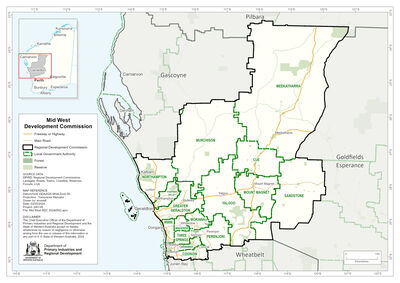
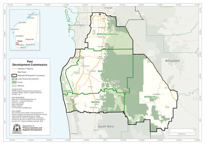
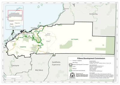
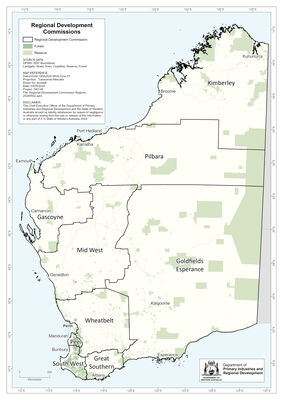
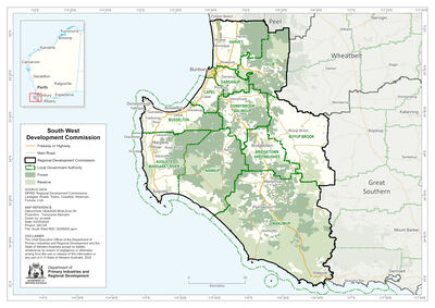
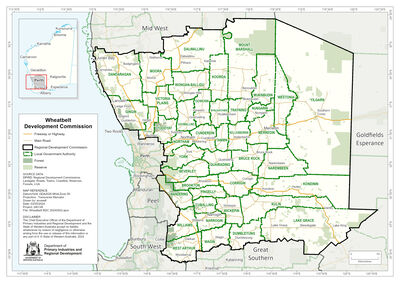
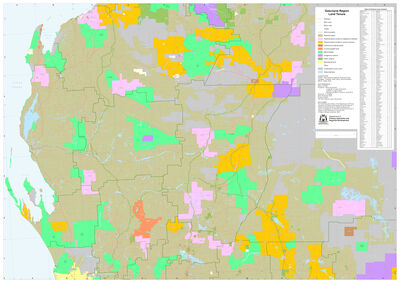
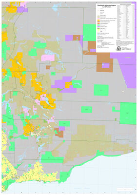
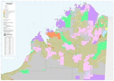
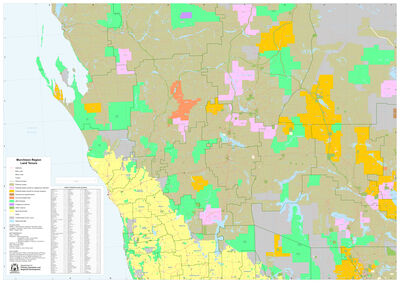
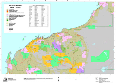
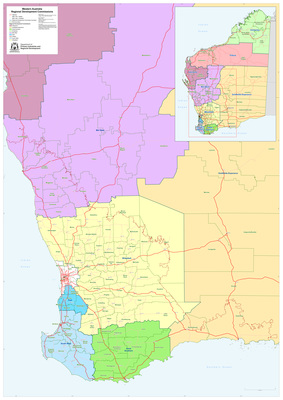
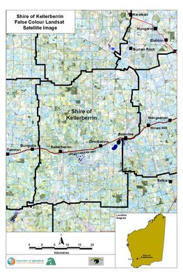
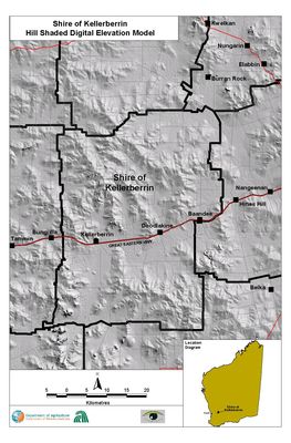
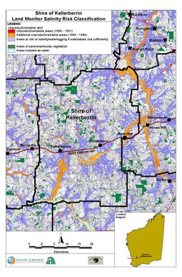
A gallery of publicly available maps produced by the Geographic Information Services (GIS) division of the Department of Agriculture and Food Western Australia. Many of the data sets that make these maps are available from the Shared Land information Platform (SLIP) or data.wa.gov.au.
Printing is not supported at the primary Gallery Thumbnail page. Please first navigate to a specific Image before printing.
