

Publication Date
1-7-2003
Series Number
240
Abstract
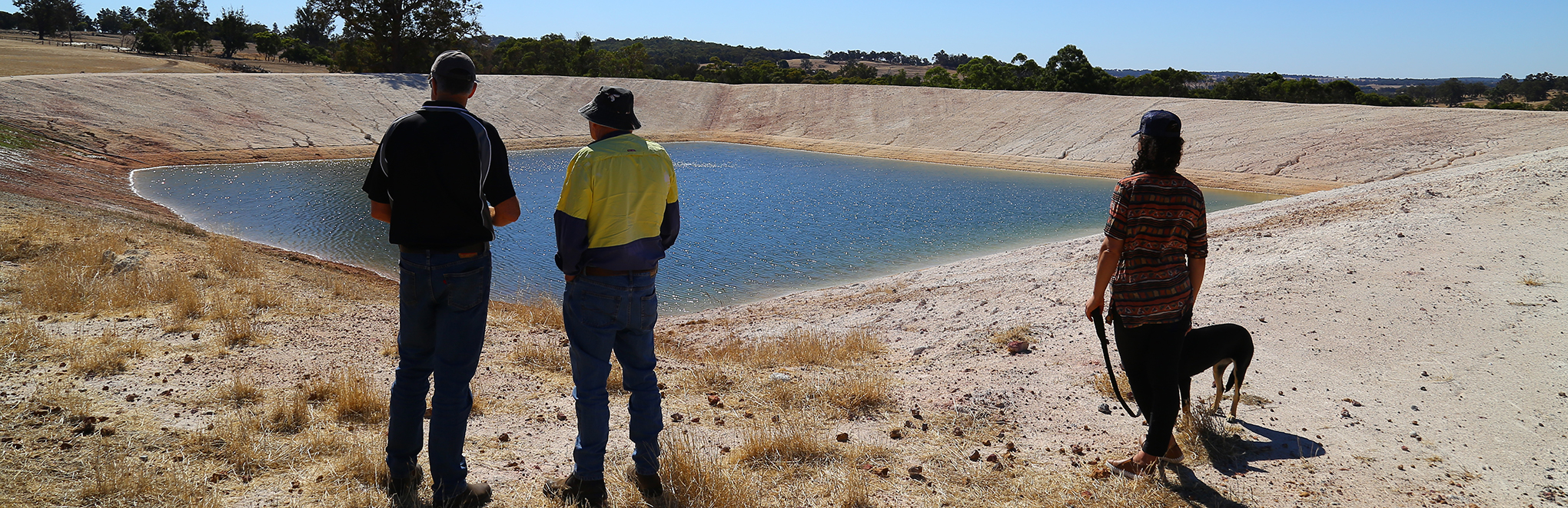
This report describes the soils, hydrology, natural vegetation and farming systems of the East Mortlock catchment and provides information on the threats to agriculture, infrastructure and natural resources caused by land degradation. East Mortlock covers over 800,000 hectares in the central wheatbelt. Rapid Catchment Appraisal aims to document salinity risk and management options by addressing all threats to the natural resource base, rather than isolating salinity as a separate issue.
Number of Pages
51
Keywords
Salinity, Farming systems, Soil, Rapid methods, Groundwater, Climate, Western Australia, Watersheds, Soil acidity, Mortlock River (WA), Soil degradation, Watershed management, East Mortlock region (WA), Hydrogeology, Avon River (WA), Remnant vegetation
Disciplines
Agriculture | Natural Resources Management and Policy | Soil Science | Water Resource Management
Recommended Citation
Compiled by Don Cummins
Maps
Maps are not included as part of the complete document download. If this report contains a map, it will be available in the Individual Parts list below.
Included in
Agriculture Commons, Natural Resources Management and Policy Commons, Soil Science Commons, Water Resource Management Commons